
The European Environment Agency (EEA) has announced that it will continue to work with Copernicus, the European earth observation programme, after an agreement signed 1 December.
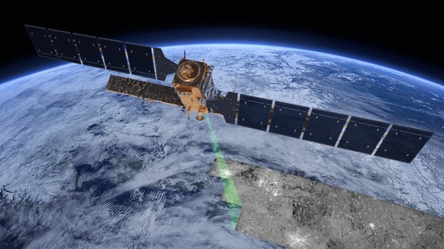 Flood prevention, understanding urban sprawl and mapping ecosystems are just a few uses of the land monitoring data from the Sentinel satellites. In-situ data coordination means ensuring access to data, such as water quality monitoring measurements. In this area the EEA will ensure that the existing national in situ monitoring is used in combination with new satellite observation data from the Sentinels.
The EEA will carry out two roles: coordinating implementation of the Copernicus Land Monitoring Service, and coordinating implementation of the Copernicus In-Situ Component. Both will make it easier for the EEA and others to monitor land use and land cover changes across Europe. They will also allow comparison between different countries with harmonised datasets.
The agreement was signed yesterday at a ceremony with the European Commission, and is effective immediately. It is worth €87 million over the period 2014 to 2020. The EEA will now work with European companies and public authorities to process satellite imagery and other data, helping to create an up-to-date picture of Europe's environment.
It will provide users in the field of environment and other terrestrial applications with high quality information based on space data combined with other sources of in-situ data. It addresses the data and information needs of a wide range of policies, such as environment, agriculture, regional planning, transport, energy, as well as climate change, at a European level.
In November the Commission announced that it had moved a step closer to the start of the operational stage of three of Copernicus's earth observation services: Atmosphere Monitoring, Climate Change, and Marine Environment Monitoring.