
The Government’s Geospatial Commission is to make its first investment from its £80 million two-year budget.
The Commission will invest £5 million to help unlock the value of geospatial data held by its six expert Partner Bodies - the British Geological Survey, Coal Authority, HM Land Registry, Ordnance Survey, UK Hydrographic Office and the Valuation Office Agency.
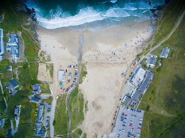 Location information, or geospatial data, is changing everyday through cutting edge analysis of GPS, satellite photography and historical data.
Announcing the funding, David Lidington, Chancellor of the Duchy of Lancaster said:
“Our modern Industrial Strategy will secure Britain’s position as a world-leader in digital innovation and this government is committed to providing more opportunities for tech businesses - including small firms - to thrive, as well as access public procurement opportunities.
“Through emerging technologies, our Geospatial and GovTech funding will elevate British companies onto a global market and help to deliver new services to improve people’s lives.”
The work of the Geospatial Commission, supported by £40 million of new funding in each of the next two years, will drive the move to use the data more productively - unlocking up to £11 billion of extra value for the economy every year.
Geospatial data is an increasingly valuable tool for businesses and public sector organisations, helping them to make better decisions, including where best to locate supply chains.
UK Hydrographic Office marine geospatial data will help organisations make better use of marine environment
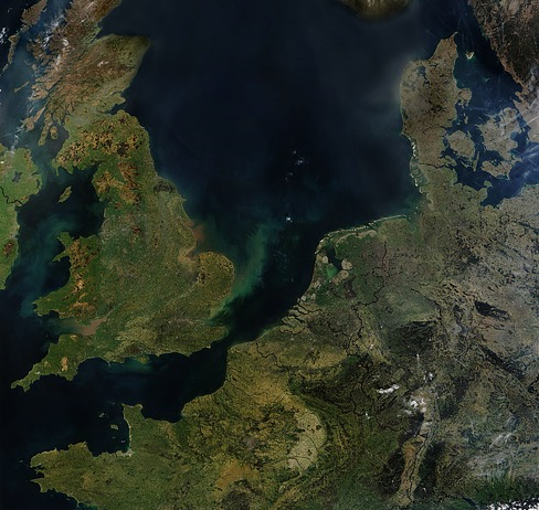 As one of the 6 partner organisations on the commission (Geo6), the UK Hydrographic Office (UKHO) holds a broad range of UK marine geospatial data ranging from the seabed to the ocean’s surface.
This includes high resolution bathymetry depicting the seafloor, as well as information on the water itself, including density, salinity, temperature and movement. Specialist teams also process information on maritime security, marine life, maritime limits and more. The data is vital to helping organisations make better use of the marine environment and use ocean resources in a sustainable way.
In collaboration with its Geo6 partners, the UKHO will deliver 4 exploratory projects:
- Data discoverability – assessing and improving access to current data sets
- Linked identifiers – supporting users to bring different data together in valuable new ways
- Licencing – working towards simple, common licensing terms to increase data use
- Enhancing core data assets – using third party data to improve the quality of data and make its collection more efficient
Commenting on the announcement, John Humphrey CEO at the UK Hydrographic Office said:
"Marine geospatial data is fundamental to helping us to make better use of the marine environment and ensure its protection for years to come. It’s the foundation on which to develop tourism and trade, as well as support disaster resilience and climate change mitigation."
"As a marine geospatial agency, we are experts in sourcing and processing this location-based information, from seabed to surface. By leveraging our data-handling expertise, whether in hydrography and oceanography or software development and data science, we aim to help the Geospatial Commission maximise the value of this data to the UK."
The Government believes that by improving the quality of key publicly held data and making it easier to access and use will enable the private sector to develop new innovations and applications.
The announcement comes alongside the launch on 9th October of the next round of the £20 million GovTech Catalyst programme, in which public sector organisations are invited to submit challenges they think might be solved by innovative use of emerging technologies.
Both the government’s Geospatial and GovTech funding is aimed at driving forward Britain as a digital and data leader.
 Ray Moulds, Sales Director at Flood Control International, takes a look at how automated sliding floodgates are supporting secondary containment at water and sewerage company sites.
